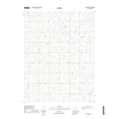
2018 Map of Soldier Creek SE
USGS Topo · Published 2018About this map
The rolling prairies of Jackson County are defined by an intricate network of waterways including Little Soldier Cr and James Cr. This landscape is primarily agricultural, structured by the Public Land Survey System that divides the terrain into distinct townships and ranges. Historical markers of the early rural community appear in the form of two specific burial grounds: Mitchell Cem in the northern section and Shipsee Cem to the south. These landmarks, often associated with early homesteading families, remain preserved alongside the section-line roads like 174th Rd and 142nd Rd that still dictate the movement of people across the Kansas countryside. The convergence of multiple small drainages such as Dutch Cr and Walnut Cr indicates a land deeply tied to its natural hydrology even as modern infrastructure maintains the grid.
Find a feature on this map
26 named features on this map. Tap any name to fly to it.
Don’t see what you’re looking for? This feature index may not catch every label — zoom into the map to look around manually.
Map Details
Editions of this 2018 Soldier Creek SE Map
This is the sole edition of this map. No revisions or reprints were ever made.
Other maps of this area

1889 · Topeka
USGS Topo · 1:125,000

1894 · Topeka
USGS Topo · 1:125,000

1950 · Kansas City
USGS Topo · 1:250,000

1952 · Rossville
USGS Topo · 1:24,000

1952 · Elmont
USGS Topo · 1:24,000

1952 · Grove
USGS Topo · 1:24,000

1954 · Kansas City
USGS Topo · 1:250,000

1956 · Kansas City
USGS Topo · 1:250,000

1960 · Kansas City
USGS Topo · 1:250,000
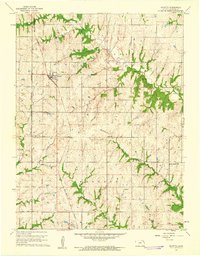
1960 · Mayetta
USGS Topo · 1:24,000