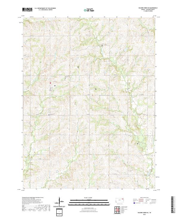
2022 Map of Soldier Creek SE
USGS Topo · Published 2022About this map
Little Soldier Creek and South Branch Soldier Creek define the drainage patterns of this Jackson County landscape, where the terrain is marked by a network of rural roads such as 174th Road and 150th Road. The area is predominantly agricultural, characterized by the winding paths of James Creek and Dutch Creek that cut through the rolling topography of the Potawatomi Indian Reservation area.
Find a feature on this map
28 named features on this map. Tap any name to fly to it.
Don’t see what you’re looking for? This feature index may not catch every label — zoom into the map to look around manually.
Map Details
Editions of this 2022 Soldier Creek SE Map
This is the sole edition of this map. No revisions or reprints were ever made.
Other maps of this area

1889 · Topeka
USGS Topo · 1:125,000

1894 · Topeka
USGS Topo · 1:125,000

1950 · Kansas City
USGS Topo · 1:250,000

1952 · Rossville
USGS Topo · 1:24,000

1952 · Elmont
USGS Topo · 1:24,000

1952 · Grove
USGS Topo · 1:24,000

1954 · Kansas City
USGS Topo · 1:250,000

1956 · Kansas City
USGS Topo · 1:250,000

1960 · Kansas City
USGS Topo · 1:250,000
1960 · Mayetta
USGS Topo · 1:24,000