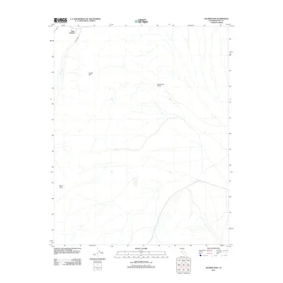
2012 Map of Soldier Pass
USGS Topo · Published 2012About this map
Deep Springs marks the northern reaches of this Inyo County terrain, where the high desert landscape is defined by dramatic topographic relief and seasonal drainage systems. The map centers on the historical gateway of Soldier Pass, a notable geographic notch that transitions into the steep descent of Soldier Pass Canyon. To the southwest, the prominence of Mount Nunn stands as a primary landmark overlooking the arid valley floor. Water, though scarce, is represented by the course of Wyman Cr, which carves through the north-western corner near the primary settlement. This 2012 survey illustrates the sparse road networks and rugged drainage patterns characteristic of the eastern Sierra region, providing a clear record of the area's physical geography and named landforms.
Find a feature on this map
5 named features on this map. Tap any name to fly to it.
Don’t see what you’re looking for? This feature index may not catch every label — zoom into the map to look around manually.
Map Details
Editions of this 2012 Soldier Pass Map
This is the sole edition of this map. No revisions or reprints were ever made.
Other maps of this area

1908 · Lida
USGS Topo · 1:250,000

1913 · Bishop
USGS Topo · 1:125,000

1913 · Lida
USGS Topo · 1:250,000

1947 · Mariposa
USGS Topo · 1:250,000

1948 · Mariposa
USGS Topo · 1:250,000

1951 · Blanco Mountain
USGS Topo · 1:62,500

1951 · Waucoba Mtn.
USGS Topo · 1:62,500

1954 · Goldfield
USGS Topo · 1:250,000

1955 · Goldfield
USGS Topo · 1:250,000

1957 · Mariposa
USGS Topo · 1:250,000