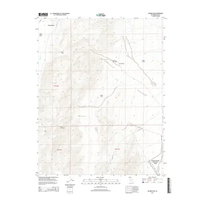
2015 Map of Soldier Pass
USGS Topo · Published 2015About this map
Deep Springs and the northern reaches of the White- Inyo Range define this high-altitude landscape in eastern California. The area serves as a significant drainage divide, where Wyman Cr cuts through the terrain near the transition between Deep Springs Valley and the expansive Owens Valley and Eureka Valley. The map documents the primitive transportation corridors through the mountains, notably following the namesake Soldier Pass and the rugged descent of Soldier Pass Canyon. Toward the southeast, the boundary of Death Valley National Park marks a shift into federally protected desert wilderness. Peaks like Mt Nurin provide vertical relief in a region where the arid basins are linked by remote tracks such as Big Pine Rd, illustrating the isolation and geographic complexity of the Inyo County interior.
Find a feature on this map
15 named features on this map. Tap any name to fly to it.
Don’t see what you’re looking for? This feature index may not catch every label — zoom into the map to look around manually.
Map Details
Editions of this 2015 Soldier Pass Map
This is the sole edition of this map. No revisions or reprints were ever made.
Other maps of this area

1908 · Lida
USGS Topo · 1:250,000

1913 · Bishop
USGS Topo · 1:125,000

1913 · Lida
USGS Topo · 1:250,000

1947 · Mariposa
USGS Topo · 1:250,000

1948 · Mariposa
USGS Topo · 1:250,000

1951 · Blanco Mountain
USGS Topo · 1:62,500

1951 · Waucoba Mtn.
USGS Topo · 1:62,500

1954 · Goldfield
USGS Topo · 1:250,000

1955 · Goldfield
USGS Topo · 1:250,000

1957 · Mariposa
USGS Topo · 1:250,000