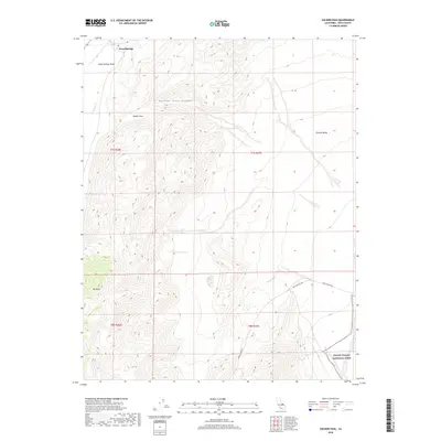
2018 Map of Soldier Pass
USGS Topo · Published 2018About this map
Deep Springs sits at the edge of a dramatic high-desert landscape in Inyo County, where the northern reaches of Death Valley National Park begin to unfold. This survey captures the topographical transition from the depths of Eureka Valley up through the rugged corridor of Soldier Pass Canyon. The presence of Loretta Mine Rd and Death Valley Rd provides a record of the primitive access routes required to navigate this portion of the Basin and Range province. Significant relief is defined by Mt Nunn and the namesake Soldier Pass, illustrating the geological isolation of Deep Springs Valley and the seasonal drainage patterns of Wyman Cr. The map serves as a contemporary document of federal land management boundaries and the sparse infrastructure that supports mineral exploration and wilderness recreation in the eastern Sierra region.
Find a feature on this map
14 named features on this map. Tap any name to fly to it.
Don’t see what you’re looking for? This feature index may not catch every label — zoom into the map to look around manually.
Map Details
Editions of this 2018 Soldier Pass Map
This is the sole edition of this map. No revisions or reprints were ever made.
Other maps of this area

1908 · Lida
USGS Topo · 1:250,000

1913 · Bishop
USGS Topo · 1:125,000

1913 · Lida
USGS Topo · 1:250,000

1947 · Mariposa
USGS Topo · 1:250,000

1948 · Mariposa
USGS Topo · 1:250,000

1951 · Blanco Mountain
USGS Topo · 1:62,500

1951 · Waucoba Mtn.
USGS Topo · 1:62,500

1954 · Goldfield
USGS Topo · 1:250,000

1955 · Goldfield
USGS Topo · 1:250,000

1957 · Mariposa
USGS Topo · 1:250,000