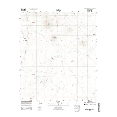
2013 Map of Soldiers Farewell Hill
USGS Topo · Published 2013About this map
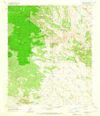
Soldiers Farewell Hill rises as a prominent landmark in this high-desert region of Grant County, marking a landscape defined by significant elevation changes and seasonal watercourses. The peaks of Bessie Rhoads Mtn and JPB Mtn dominate the northern terrain, while the Malpais Hills sit to the northeast. Water management is central to the land's utility, evidenced by the Burro Cienaga drainage and the Jarrell Tank Number 1 catchment. The presence of Gage Rd provides a primary corridor through this open range, connecting the various draws and canyons like South Well Canyon and China Draw. This map reflects the enduring geography of the New Mexico bootheel borderlands, where family-named peaks and vital water sources like Ninety-six Creek have historically dictated the patterns of ranching and travel.
Find a feature on this map
17 named features on this map. Tap any name to fly to it.
Don’t see what you’re looking for? This feature index may not catch every label — zoom into the map to look around manually.
Map Details
Editions of this 2013 Soldiers Farewell Hill Map
This is the sole edition of this map. No revisions or reprints were ever made.
Other maps of this area

1954 · Silver City
USGS Topo · 1:250,000

1958 · Silver City
USGS Topo · 1:250,000

1962 · Silver City
USGS Topo · 1:250,000

1962 · Ninetysix Ranch
USGS Topo · 1:24,000

1963 · Soldiers Farewell Hill
USGS Topo · 1:24,000
1963 · Cow Springs Mountain
USGS Topo · 1:24,000

1963 · Gage NW
USGS Topo · 1:24,000
1963 · Werney Hill
USGS Topo · 1:24,000
1963 · Grandmother Mountain West
USGS Topo · 1:24,000
1963 · C Bar Ranch
USGS Topo · 1:24,000