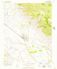
1955 Map of Soledad
USGS Topo · Published 1957About this map
The Salinas River valley in the mid-1950s is defined by a dense grid of agriculture and institutional development centered on the town of Soledad. To the northwest, the State Prison stands as a prominent landmark on the valley floor, while the cultural history of the region is anchored by the site of the historic Mission Soledad and the nearby agricultural community of Fort Romie. The landscape transitions sharply from the irrigated flats along the Southern Pacific rail line to the steep, dissected terrain of the Gabilan Range to the east, where features like Bryant Canyon and Stonewall Creek drain toward the river. Local infrastructure is well-established, including the San Vicente School, a Landing Strip, and a Radio Transmitter north of the town center, reflecting the post-war modernization of Monterey County’s rural interior.
Find a feature on this map
29 named features on this map. Tap any name to fly to it.
Don’t see what you’re looking for? This feature index may not catch every label — zoom into the map to look around manually.
Map Details
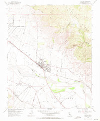
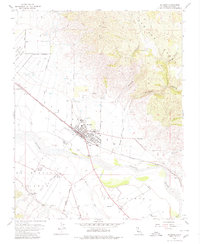
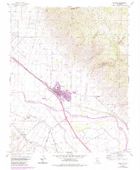
Editions of this 1955 Soledad Map
4 editions found
Other maps of this area

1910 · Gonzales
USGS Topo · 1:31,680

1910 · Soledad
USGS Topo · 1:31,680

1912 · Metz
USGS Topo · 1:31,680

1915 · Soledad
USGS Topo · 1:62,500

1919 · San Benito
USGS Topo · 1:62,500

1921 · Gonzales
USGS Topo · 1:62,500

1921 · Metz
USGS Topo · 1:62,500

1931 · San Benito
USGS Topo · 1:62,500

1940 · Metz
USGS Topo · 1:62,500

1940 · Soledad
USGS Topo · 1:62,500