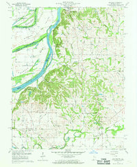
1959 Map of Solitude
USGS Topo · Published 1961About this map
New Harmony anchors the northern reaches of this landscape, a historic settlement defined by its proximity to the wandering Wabash River. The river's shifting path is evident in the presence of Ribeyre Island and several oxbow remnants like Turkey Island (Old Channel). This 1959 survey reveals an active agrarian and industrial corridor where an Oil Field operates near the riverbanks while the Chicago and Eastern Illinois railroad cuts through the southern interior near Solitude. Local life is recorded through numerous rural landmarks, including the The Labyrinth State Memorial and scattered country houses of worship like Bethesda Ch and Olive Chapel. Small clusters like Savah and Grafton serve as focal points for a network of named runs and creeks, such as Cajole Creek and Goad Run, that drain the undulating terrain between the river valley and the interior uplands.
Find a feature on this map
60 named features on this map. Tap any name to fly to it.
Don’t see what you’re looking for? This feature index may not catch every label — zoom into the map to look around manually.
Map Details
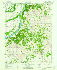
Editions of this 1959 Solitude Map
2 editions found
Other maps of this area

1903 · New Harmony
USGS Topo · 1:62,500

1903 · Patoka
USGS Topo · 1:125,000

1905 · New Haven
USGS Topo · 1:62,500

1906 · New Haven
USGS Topo · 1:62,500

1917 · Uniontown
USGS Topo · 1:62,500

1938 · New Harmony
USGS Topo · 1:62,500

1940 · Carmi
USGS Topo · 1:62,500

1943 · Carmi
USGS Topo · 1:62,500

1949 · Paducah
USGS Topo · 1:250,000

1949 · New Haven
USGS Topo · 1:62,500