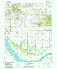
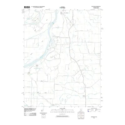
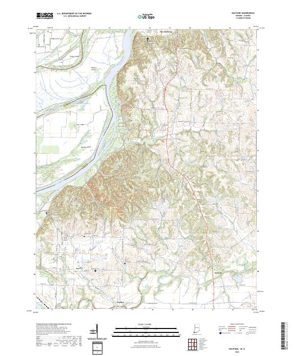
1959 Map of Solitude
USGS Topo · Published 1969About this map
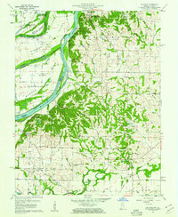
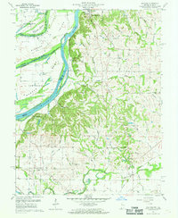
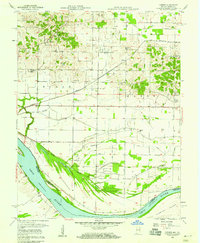
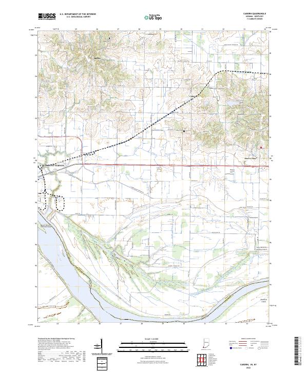
New Harmony serves as the focal point of this late 1950s survey, highlighting its legacy through landmarks like The Labyrinth State Memorial and Maple Hill Cem. The geography is dominated by the meandering Wabash River, which forms the boundary between Indiana and Illinois, creating a landscape of river bends and islands such as Ribeyre Island and Mink Island. The river's historical shifts are clearly marked by the Old Channel Wabash River, suggesting the dynamic nature of this alluvial plain.
Find a feature on this map
69 named features on this map. Tap any name to fly to it.
Don’t see what you’re looking for? This feature index may not catch every label — zoom into the map to look around manually.
Map Details
Editions of this 1959 Solitude Map
2 editions found
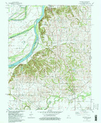
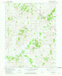
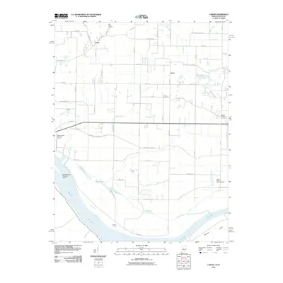
Historical Maps of New Harmony Through Time
21 maps found
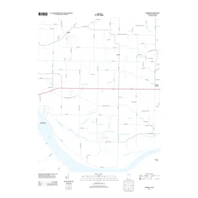
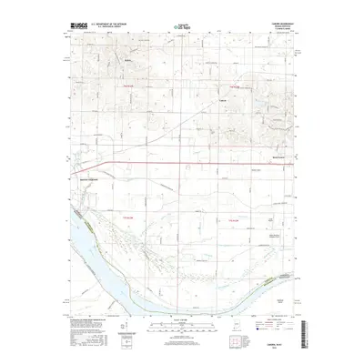
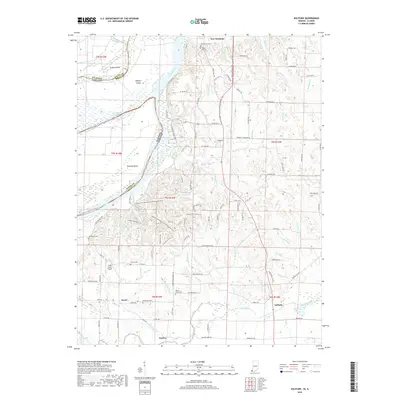
1957 Caborn
Posey County, IN
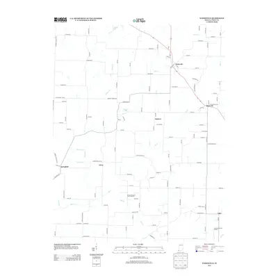
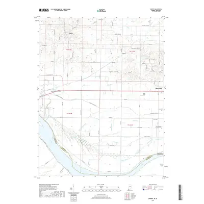
1959 Solitude
Posey County, IN
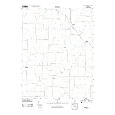
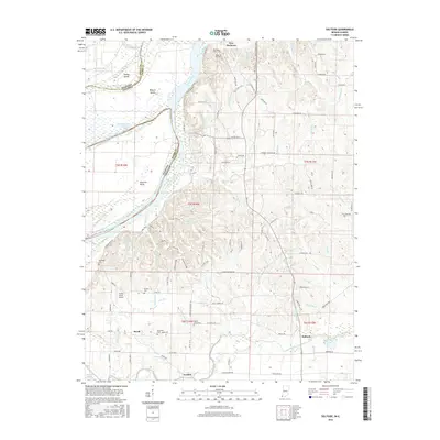
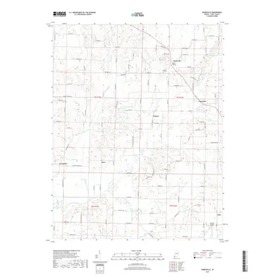
1959 Wadesville
Posey County, IN
1978 Caborn
Posey County, IN
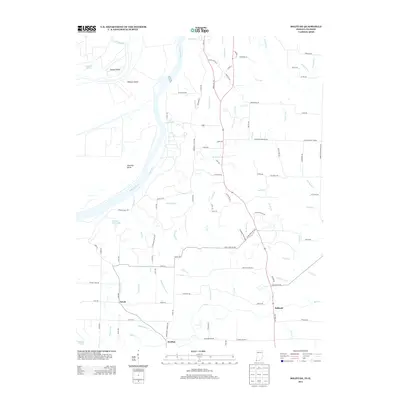
1981 Solitude
Posey County, IN
1981 Wadesville
Posey County, IN
2010 Caborn
Posey County, IN
2010 Solitude
Posey County, IN
2010 Wadesville
Posey County, IN
2013 Caborn
Posey County, IN
2013 Solitude
Posey County, IN
2013 Wadesville
Posey County, IN
2016 Caborn
Posey County, IN
2016 Solitude
Posey County, IN
2016 Wadesville
Posey County, IN
2019 Caborn
Posey County, IN
2019 Solitude
Posey County, IN
2019 Wadesville
Posey County, IN
2022 Caborn
Posey County, IN
2022 Solitude
Posey County, IN
2022 Wadesville
Posey County, IN