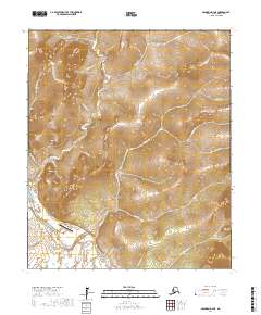
2017 Map of Solomon D-4 NE
USGS Topo · Published 2017About this map
Council serves as the focal point of this 2017 survey, situated near the confluence where several creek systems meet the Niukluk River. The settlement's connection to the wider region is maintained via Airport Road and the Council Airport. The surrounding topography is defined by the high elevations of Mt Mordaunt and King Mtn, which overlook a network of drainages including California Cr, Melsing Cr, and Ophir Cr.
Find a feature on this map
30 named features on this map. Tap any name to fly to it.
Don’t see what you’re looking for? This feature index may not catch every label — zoom into the map to look around manually.
Map Details
Editions of this 2017 Solomon D-4 NE Map
This is the sole edition of this map. No revisions or reprints were ever made.
Other maps of this area

1950 · Bendeleben A-4
USGS Topo · 1:63,360

1950 · Bendeleben A-3
USGS Topo · 1:63,360

1950 · Bendeleben
USGS Topo · 1:250,000

1950 · Solomon D-3
USGS Topo · 1:63,360

1950 · Solomon
USGS Topo · 1:250,000

1950 · Solomon D-4
USGS Topo · 1:63,360

1951 · Bendeleben
USGS Topo · 1:250,000

1951 · Solomon
USGS Topo · 1:250,000

1964 · Bendeleben
USGS Topo · 1:250,000

1970 · Bendeleben A-4
USGS Topo · 1:63,360