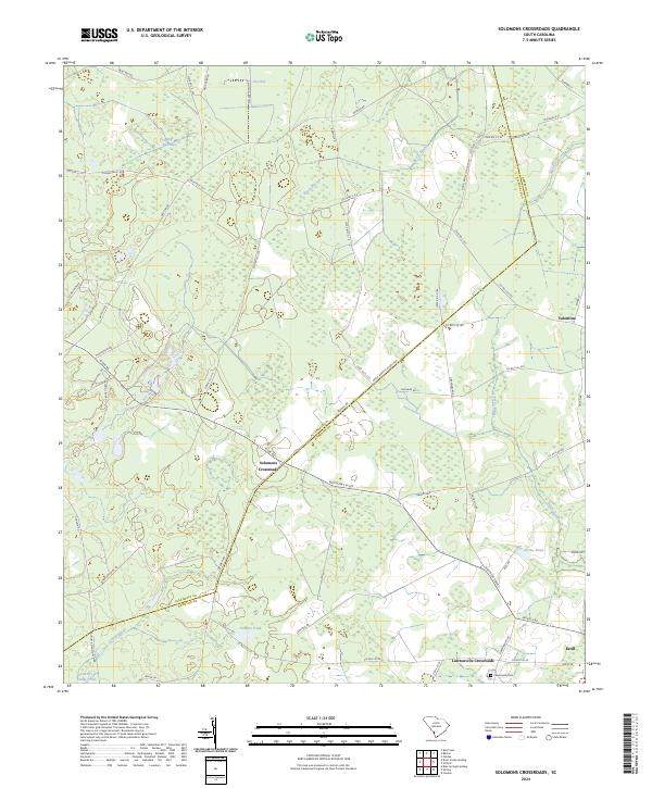
2024 Map of Solomons Crossroads
USGS Topo · Published 2024About this map
Solomons Crossroads and the surrounding Lowcountry wetlands define this section of the coastal plain along the border of Allendale and Hampton counties. The landscape is characterized by its hydrologic network, featuring numerous bays and ponds such as Levy Bay, Harpers Pond, and the curiously named Ceasars Camp Pond. These water bodies are connected by a system of intermittent and perennial streams like Beech Branch and Black Creek, which have historically influenced the placement of local thoroughfares and crossings.
Find a feature on this map
58 named features on this map. Tap any name to fly to it.
Don’t see what you’re looking for? This feature index may not catch every label — zoom into the map to look around manually.
Map Details
Editions of this 2024 Solomons Crossroads Map
This is the sole edition of this map. No revisions or reprints were ever made.
Other maps of this area

1918 · Varnville
USGS Topo · 1:62,500

1919 · Pineland
USGS Topo · 1:62,500

1919 · Shirley
USGS Topo · 1:62,500

1920 · Peeples
USGS Topo · 1:62,500

1943 · Pineland
USGS Topo · 1:62,500

1943 · Peeples
USGS Topo · 1:62,500

1943 · Shirley
USGS Topo · 1:62,500

1944 · Varnville
USGS Topo · 1:62,500

1947 · Savannah
USGS Topo · 1:250,000

1948 · Savannah
USGS Topo · 1:250,000