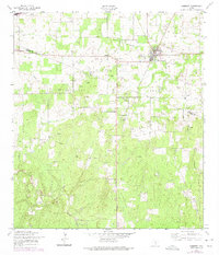
1958 Map of Somerset
USGS Topo · Published 1975About this map
Somerset Oil Field dominates the landscape of this region southwest of San Antonio, where a dense network of Oil Wells and a major Pipeline reflect a mid-century petroleum economy. The town of Somerset serves as the primary hub, featuring a central Athletic Field and a transition from rural homesteads to a more structured town grid. To the west, the smaller community of Bexar is marked by the Bexar Cem, while the cultural landscape is further defined by the Old Rock Ch sitting just north of the county line. An Old Railroad Grade cutting through the terrain provides a physical link to earlier transportation patterns that predated the intensive oil development seen here in the late 1950s. The boundary between Bexar Co and Atascosa Co runs through the lower third of the sheet, dividing a countryside characterized by shifting vegetation and industrial activity.
Find a feature on this map
13 named features on this map. Tap any name to fly to it.
Don’t see what you’re looking for? This feature index may not catch every label — zoom into the map to look around manually.
Map Details
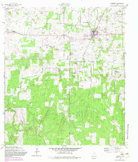
Editions of this 1958 Somerset Map
3 editions found
Other maps of this area

1942 · Natalia
USGS Topo · 1:62,500

1953 · Terrell Wells
USGS Topo · 1:24,000

1953 · Macdona
USGS Topo · 1:24,000

1954 · San Antonio
USGS Topo · 1:250,000

1957 · San Antonio
USGS Topo · 1:250,000

1958 · La Coste
USGS Topo · 1:24,000

1958 · Somerset
USGS Topo · 1:24,000

1958 · Thelma
USGS Topo · 1:24,000
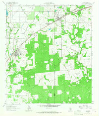
1964 · Lytle
USGS Topo · 1:24,000
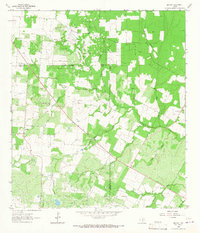
1964 · Bigfoot
USGS Topo · 1:24,000