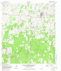
1958 Map of Somerset
USGS Topo · Published 1982About this map
The Somerset Oil Field dominates the landscape of this south Texas region, where the dense extraction network of oil wells and a Pipeline cut across the rolling terrain of the Bexar Co Atascosa Co border. Originally mapped in the 1950s and updated with 1982 photorevisions, the map captures the community of Somerset and the nearby settlement of Bexar, illustrating a rural economy transitioning from traditional agriculture to intensive energy production.
Find a feature on this map
14 named features on this map. Tap any name to fly to it.
Don’t see what you’re looking for? This feature index may not catch every label — zoom into the map to look around manually.
Map Details
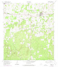
Editions of this 1958 Somerset Map
3 editions found
Other maps of this area

1942 · Natalia
USGS Topo · 1:62,500

1953 · Terrell Wells
USGS Topo · 1:24,000

1953 · Macdona
USGS Topo · 1:24,000

1954 · San Antonio
USGS Topo · 1:250,000

1957 · San Antonio
USGS Topo · 1:250,000

1958 · La Coste
USGS Topo · 1:24,000

1958 · Somerset
USGS Topo · 1:24,000

1958 · Thelma
USGS Topo · 1:24,000
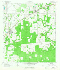
1964 · Lytle
USGS Topo · 1:24,000
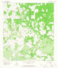
1964 · Bigfoot
USGS Topo · 1:24,000