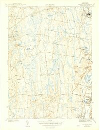
1943 Map of Somerset
USGS Topo · Published 1943About this map
Rehoboth, Dighton, Swansea, and Somerset appear here during the early 1940s, revealing a landscape defined by an intricate network of wetlands and small watercourses. The Taunton River serves as the eastern boundary, while the interior is dominated by vast tracts like Manwhague Swamp and Squannakonk Swamp. This era captures a mix of rural crossroads and growing riverfront industry, seen in the infrastructure of the New York New Haven and Hartford railroad and the Somerset Pumping Sta near Broad Cove.
Find a feature on this map
61 named features on this map. Tap any name to fly to it.
Don’t see what you’re looking for? This feature index may not catch every label — zoom into the map to look around manually.
Map Details
Editions of this 1943 Somerset Map
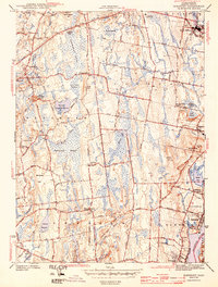
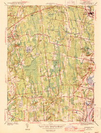
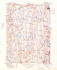
4 editions found
Other maps of this area

1885 · Taunton
USGS Topo · 1:62,500

1887 · Providence
USGS Topo · 1:62,500

1888 · Fall River
USGS Topo · 1:62,500

1888 · Taunton
USGS Topo · 1:62,500

1889 · Providence
USGS Topo · 1:62,500

1890 · Narragansett Bay
USGS Topo · 1:62,500

1892 · Narragansett Bay
USGS Topo · 1:62,500

1893 · Taunton
USGS Topo · 1:62,500

1893 · Fall River
USGS Topo · 1:62,500

1894 · Providence
USGS Topo · 1:62,500