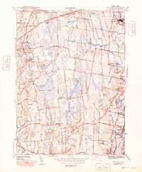
1943 Map of Somerset
USGS Topo · Published 1949About this map
The interior of Bristol County during the 1940s is defined by its extensive wetlands and small industrial clusters. Massive tracts like Manwhague Swamp, Bad Luck Swamp, and Maple Swamp dictate the local geography, forcing roads and settlements to follow the higher ridges and watercourses. Small community hubs like Swansea Factory and North Dighton illustrate the region's historic reliance on water power and manufacturing, while the New York New Haven and Hartford RR provides a critical industrial link along the eastern edge of the quadrangle.
Find a feature on this map
63 named features on this map. Tap any name to fly to it.
Don’t see what you’re looking for? This feature index may not catch every label — zoom into the map to look around manually.
Map Details
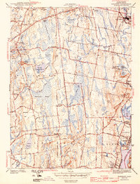
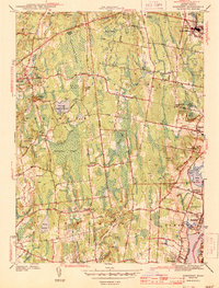
Editions of this 1943 Somerset Map
4 editions found
Other maps of this area

1885 · Taunton
USGS Topo · 1:62,500

1887 · Providence
USGS Topo · 1:62,500

1888 · Fall River
USGS Topo · 1:62,500

1888 · Taunton
USGS Topo · 1:62,500

1889 · Providence
USGS Topo · 1:62,500

1890 · Narragansett Bay
USGS Topo · 1:62,500

1892 · Narragansett Bay
USGS Topo · 1:62,500

1893 · Taunton
USGS Topo · 1:62,500

1893 · Fall River
USGS Topo · 1:62,500

1894 · Providence
USGS Topo · 1:62,500