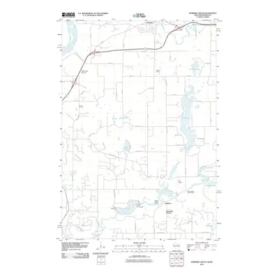
2010 Map of Somerset South
USGS Topo · Published 2010About this map
Burkhardt and the southern reaches of Somerset define this landscape along the winding course of the Apple River and Willow River. The area is marked by a legacy of water management and recreation, featuring the Little Falls Dam and Willow Falls WP 195 Dam, alongside the Snow Crest Ski Area in the western hills. These water bodies and elevation changes hint at the region's industrial and leisure history during the early 21st century.
Find a feature on this map
44 named features on this map. Tap any name to fly to it.
Don’t see what you’re looking for? This feature index may not catch every label — zoom into the map to look around manually.
Map Details
Editions of this 2010 Somerset South Map
This is the sole edition of this map. No revisions or reprints were ever made.
Other maps of this area

1946 · Hudson
USGS Topo · 1:62,500

1946 · River Falls
USGS Topo · 1:62,500

1948 · New Richmond
USGS Topo · 1:62,500

1948 · Stillwater
USGS Topo · 1:62,500

1949 · New Richmond
USGS Topo · 1:62,500

1949 · River Falls
USGS Topo · 1:62,500

1949 · Hudson
USGS Topo · 1:62,500

1949 · Stillwater
USGS Topo · 1:62,500

1949 · Hudson
USGS Topo · 1:24,000

1950 · Hudson
USGS Topo · 1:24,000