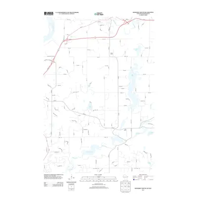
2013 Map of Somerset South
USGS Topo · Published 2013About this map
The Saint Croix R defines the northwestern boundary of this 2013 survey, where a complex network of waterways and small airfields characterizes the landscape. The Apple River and Willow River wind through the terrain, feeding into prominent water bodies such as Little Falls Lake and Mounds Pond 168. Transportation is anchored by the junction of Wi-35 and Wi-64, while the local aviation history is represented by Irlbeck Airport and Beer Airport.
Find a feature on this map
110 named features on this map. Tap any name to fly to it.
Don’t see what you’re looking for? This feature index may not catch every label — zoom into the map to look around manually.
Map Details
Editions of this 2013 Somerset South Map
This is the sole edition of this map. No revisions or reprints were ever made.
Other maps of this area

1946 · Hudson
USGS Topo · 1:62,500

1946 · River Falls
USGS Topo · 1:62,500

1948 · New Richmond
USGS Topo · 1:62,500

1948 · Stillwater
USGS Topo · 1:62,500

1949 · New Richmond
USGS Topo · 1:62,500

1949 · River Falls
USGS Topo · 1:62,500

1949 · Hudson
USGS Topo · 1:62,500

1949 · Stillwater
USGS Topo · 1:62,500

1949 · Hudson
USGS Topo · 1:24,000

1950 · Hudson
USGS Topo · 1:24,000