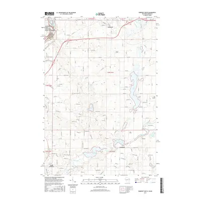
2015 Map of Somerset South
USGS Topo · Published 2015About this map
The Apple River and Willow River systems dominate this landscape in Saint Croix County, where the village of Somerset sits at a critical bend in the northern terrain. Downstream, the community of Burkhardt centers on a series of impoundments including Burkhardt Mill Pond 169 and Mounds Pond 168, illustrating the historical reliance on water for local industry. The map captures the suburban expansion reaching northward from North Hudson, as residential roads like Arbor Hills Dr and Valley View Trl begin to weave through the traditional farm and lake country.
Find a feature on this map
96 named features on this map. Tap any name to fly to it.
Don’t see what you’re looking for? This feature index may not catch every label — zoom into the map to look around manually.
Map Details
Editions of this 2015 Somerset South Map
This is the sole edition of this map. No revisions or reprints were ever made.
Other maps of this area

1946 · Hudson
USGS Topo · 1:62,500

1946 · River Falls
USGS Topo · 1:62,500

1948 · New Richmond
USGS Topo · 1:62,500

1948 · Stillwater
USGS Topo · 1:62,500

1949 · New Richmond
USGS Topo · 1:62,500

1949 · River Falls
USGS Topo · 1:62,500

1949 · Hudson
USGS Topo · 1:62,500

1949 · Stillwater
USGS Topo · 1:62,500

1949 · Hudson
USGS Topo · 1:24,000

1950 · Hudson
USGS Topo · 1:24,000