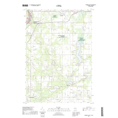
2019 Map of Somerset South
USGS Topo · Published 2019About this map
Somerset and the surrounding river valleys of St. Croix County define this landscape in the late 2010s. The northern portion of the map is dominated by the Apple River as it passes through the community of Somerset, while the southern reaches are marked by the Willow River as it flows toward North Hudson. This area is characterized by a significant amount of protected land, including the Lower Saint Croix National Scenic Riverway and multiple units of the Saint Croix County Waterfowl Production Area.
Find a feature on this map
101 named features on this map. Tap any name to fly to it.
Don’t see what you’re looking for? This feature index may not catch every label — zoom into the map to look around manually.
Map Details
Editions of this 2019 Somerset South Map
This is the sole edition of this map. No revisions or reprints were ever made.
Other maps of this area

1946 · Hudson
USGS Topo · 1:62,500

1946 · River Falls
USGS Topo · 1:62,500

1948 · New Richmond
USGS Topo · 1:62,500

1948 · Stillwater
USGS Topo · 1:62,500

1949 · New Richmond
USGS Topo · 1:62,500

1949 · River Falls
USGS Topo · 1:62,500

1949 · Hudson
USGS Topo · 1:62,500

1949 · Stillwater
USGS Topo · 1:62,500

1949 · Hudson
USGS Topo · 1:24,000

1950 · Hudson
USGS Topo · 1:24,000