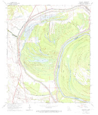
1963 Map of Somerset
USGS Topo · Published 1974About this map
The meandering course of the Mississippi River dominates this 1963 landscape, where the shifting waters have carved out Middle Palmyra Island and the expansive Davis Island. The border between Louisiana and Mississippi weaves through the current and former channels, reflecting the complex riparian history of Tensas and Madison Parishes. Local life is anchored by small settlements and rural spiritual centers, including Quimby and Somerset, with community roots visible at St Paul Ch, Pasture Green Ch, and St John Ch.
Find a feature on this map
34 named features on this map. Tap any name to fly to it.
Don’t see what you’re looking for? This feature index may not catch every label — zoom into the map to look around manually.
Map Details
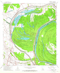
Editions of this 1963 Somerset Map
2 editions found
Other maps of this area

1909 · Mound
USGS Topo · 1:24,000

1910 · Mound
USGS Topo · 1:31,680

1935 · Waverly
USGS Topo · 1:62,500

1935 · Shackleford Lake
USGS Topo · 1:62,500

1939 · Talla Bena
USGS Topo · 1:62,500

1955 · Jackson
USGS Topo · 1:250,000

1958 · Shackleford Lake
USGS Topo · 1:62,500

1961 · Jackson
USGS Topo · 1:250,000

1961 · Waverly
USGS Topo · 1:62,500

1962 · Jackson
USGS Topo · 1:250,000