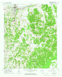
1965 Map of Somerville
USGS Topo · Published 1966About this map
The Somerville town center serves as the hub of this Fayette County landscape during the mid-1960s, defined by its position at the intersection of local commerce and the Louisville and Nashville railroad line. The map captures a transition in infrastructure, from the industrial Waterworks and Radio Tower (KIA) near the Loosahatchie River Canal to the rural expanses of the south where the North Fork meets the Wolf River.
Find a feature on this map
43 named features on this map. Tap any name to fly to it.
Don’t see what you’re looking for? This feature index may not catch every label — zoom into the map to look around manually.
Map Details
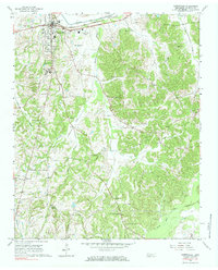
Editions of this 1965 Somerville Map
2 editions found
Other maps of this area

1949 · Moscow
USGS Topo · 1:62,500

1950 · Grand Junction
USGS Topo · 1:24,000

1951 · Hickory Valley
USGS Topo · 1:24,000

1951 · Grand Junction
USGS Topo · 1:24,000

1952 · Lambert
USGS Topo · 1:24,000

1952 · Laconia
USGS Topo · 1:24,000

1952 · Stanton
USGS Topo · 1:62,500

1956 · Blytheville
USGS Topo · 1:250,000

1959 · Blytheville
USGS Topo · 1:250,000

1959 · Whiteville
USGS Topo · 1:24,000