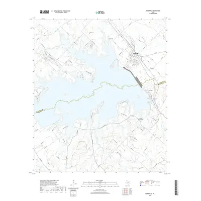
2019 Map of Somerville
USGS Topo · Published 2019About this map
Somerville stands at the heart of this survey, a town defined by its proximity to the expansive Somerville Lake. The map details a landscape where water and topography dictate the layout of roads and settlements, crossing the boundary between Burleson and Washington counties. To the south, prominent rises like Green Mtn and Shepherd Mtn overlook the winding paths of Jerdelle Cr and Old Rocky Cr. Local genealogy is well-represented through numerous burial sites, including Lyons Cem, Schoppe Cem, and the uniquely named Graveyard Crossing Cem. The presence of the Lucky Star Ranch Airport and various recreational routes near the shoreline illustrates a transition toward modern leisure and private aviation. Water bodies like Robbins Lake and Johnsons Mountain Lake further diversify the terrain, providing clear markers for those tracing historical property lines and small-scale land developments in this corner of East-Central Texas.
Find a feature on this map
115 named features on this map. Tap any name to fly to it.
Don’t see what you’re looking for? This feature index may not catch every label — zoom into the map to look around manually.
Map Details
Editions of this 2019 Somerville Map
This is the sole edition of this map. No revisions or reprints were ever made.
Other maps of this area

1914 · Gay Hill
USGS Topo · 1:62,500

1930 · Brenham
USGS Topo · 1:62,500

1954 · Austin
USGS Topo · 1:250,000

1956 · Brenham
USGS Topo · 1:62,500

1956 · Somerville
USGS Topo · 1:62,500

1958 · Carmine
USGS Topo · 1:24,000

1958 · Burton
USGS Topo · 1:24,000

1959 · Flag Pond
USGS Topo · 1:24,000

1959 · Gay Hill
USGS Topo · 1:24,000

1959 · Somerville
USGS Topo · 1:24,000