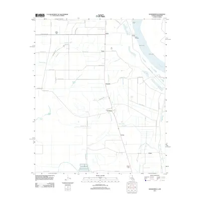
2012 Map of Sondheimer
USGS Topo · Published 2012About this map
The Mississippi River forms the eastern boundary of this Louisiana landscape, where the alluvial plain is defined by a dense network of bayous and drainage ditches. Small settlements such as Alsatia, Sondheimer, and Omega are situated along the primary north-south transportation corridor, reflecting the region's agricultural orientation. The map documents the intricate hydrology of the Delta, including Little Tensas Bayou, Wildcat Bayou, and the winding Talla Bena Bayou, alongside man-made features like Ditch Number Two and Valentine Ditch.
Find a feature on this map
51 named features on this map. Tap any name to fly to it.
Don’t see what you’re looking for? This feature index may not catch every label — zoom into the map to look around manually.
Map Details
Editions of this 2012 Sondheimer Map
This is the sole edition of this map. No revisions or reprints were ever made.
Other maps of this area

1909 · Millikens Bend
USGS Topo · 1:24,000

1909 · Tallulah
USGS Topo · 1:24,000

1935 · Waverly
USGS Topo · 1:62,500

1939 · Talla Bena
USGS Topo · 1:62,500

1939 · Alsatia
USGS Topo · 1:62,500

1955 · Jackson
USGS Topo · 1:250,000

1959 · Mitchiner
USGS Topo · 1:62,500

1961 · Jackson
USGS Topo · 1:250,000

1961 · Waverly
USGS Topo · 1:62,500

1962 · Jackson
USGS Topo · 1:250,000