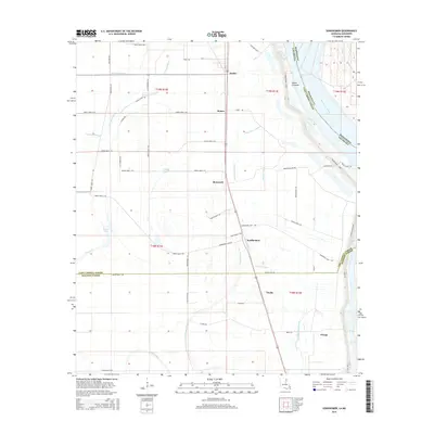
2015 Map of Sondheimer
USGS Topo · Published 2015About this map
Alsatia and Sondheimer anchor a landscape defined by the alluvial patterns of the Mississippi River along the Louisiana and Mississippi border. This 2015 data reflects the intricate drainage and levee systems essential to East Carroll Parish, where the Salem Crevasse indicates historical flood breach points near the river's winding path. The terrain is crisscrossed by agricultural infrastructure, including drainage features like Ditch Number Two and Valentine Ditch, which support the surrounding farmland. Moving inland, the map captures a network of bayous and lakes, notably Little Tensas Bayou and Broad Lake, that follow the old meanders of the river. Small settlements like Roosevelt, Enoka, and Omega are linked by a dense grid of local routes such as Sondheimer Rd and Chickenhouse Rd, illustrating the modern rural layout of the region.
Find a feature on this map
60 named features on this map. Tap any name to fly to it.
Don’t see what you’re looking for? This feature index may not catch every label — zoom into the map to look around manually.
Map Details
Editions of this 2015 Sondheimer Map
This is the sole edition of this map. No revisions or reprints were ever made.
Other maps of this area

1909 · Millikens Bend
USGS Topo · 1:24,000

1909 · Tallulah
USGS Topo · 1:24,000

1935 · Waverly
USGS Topo · 1:62,500

1939 · Talla Bena
USGS Topo · 1:62,500

1939 · Alsatia
USGS Topo · 1:62,500

1955 · Jackson
USGS Topo · 1:250,000

1959 · Mitchiner
USGS Topo · 1:62,500

1961 · Jackson
USGS Topo · 1:250,000

1961 · Waverly
USGS Topo · 1:62,500

1962 · Jackson
USGS Topo · 1:250,000