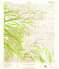
1958 Map of Sonoita
USGS Topo · Published 1959About this map
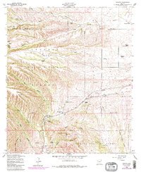
Military history and ranching heritage define this landscape near the Pima and Santa Cruz County line in the late 1950s. The map identifies the historic locations of Fort Crittenden (Site) and Fort Buchanan (Site) situated along the banks of Monkey Creek. These outposts provide a window into the frontier defense network of the 19th-century Southwest. The settlement of Sonoita serves as a central hub, flanked by the County Fairgrounds and the Southern Pacific rail line.
Find a feature on this map
47 named features on this map. Tap any name to fly to it.
Don’t see what you’re looking for? This feature index may not catch every label — zoom into the map to look around manually.
Map Details
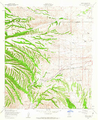
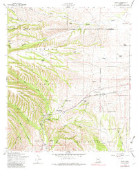
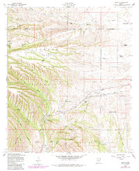
Editions of this 1958 Sonoita Map
5 editions found
Other maps of this area

1904 · Patagonia
USGS Topo · 1:125,000

1905 · Patagonia
USGS Topo · 1:125,000

1922 · Agus Caliente
USGS Topo · 1:62,500

1926 · Helvetia
USGS Topo · 1:62,500

1932 · Elgin
USGS Topo · 1:62,500

1940 · Elgin
USGS Topo · 1:62,500

1947 · Elgin
USGS Topo · 1:62,500

1948 · Elgin
USGS Topo · 1:24,000

1948 · Sonoita
USGS Topo · 1:24,000
1948 · O'Donnell Canyon
USGS Topo · 1:24,000