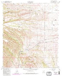
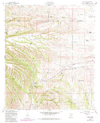
1958 Map of Sonoita
USGS Topo · Published 1984About this map
Fort Buchanan (Site) and Fort Crittenden (Site) anchor the historical geography of this high-desert landscape, marking the positions of mid-19th-century military outposts near the banks of Sonoita Creek. Located within the Coronado National Forest, the region is defined by a deep-rooted ranching economy, with numerous named properties such as Rail X Ranch, Crown C Ranch, and Hacienda Los Encinas dotting the terrain. The presence of an Old Railroad Grade running through the settlement of Sonoita reflects the area's transition from a frontier transport corridor to a rural hub, further evidenced by the County Fairgrounds. Numerous springs, including Cottonwood Spring and Monkey Spring, highlight the critical importance of water sources in this complex network of canyons and gulches like Gardner Canyon and Kentucky Gulch.
Find a feature on this map
40 named features on this map. Tap any name to fly to it.
Don’t see what you’re looking for? This feature index may not catch every label — zoom into the map to look around manually.
Map Details
Editions of this 1958 Sonoita Map
5 editions found
Other maps of this area

1904 · Patagonia
USGS Topo · 1:125,000

1905 · Patagonia
USGS Topo · 1:125,000

1922 · Agus Caliente
USGS Topo · 1:62,500

1926 · Helvetia
USGS Topo · 1:62,500

1932 · Elgin
USGS Topo · 1:62,500

1940 · Elgin
USGS Topo · 1:62,500

1947 · Elgin
USGS Topo · 1:62,500

1948 · Elgin
USGS Topo · 1:24,000

1948 · Sonoita
USGS Topo · 1:24,000
1948 · O'Donnell Canyon
USGS Topo · 1:24,000