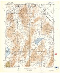
1939 Map of Sonoma Range
USGS Topo · Published 1939About this map
The Humboldt River and the corridors of the Southern Pacific and Western Pacific railroads anchor this interior basin-and-range landscape in the late 1930s. The region is defined by a deep-rooted mining and ranching economy, with numerous mineral operations including the Blackhawk Mine, Galena Mine, and Quicksilver Mine scattered across the Sonoma Range and Battle Mountain. Small settlements such as Winnemucca, Golconda, and Adelaide serve as vital hubs for the surrounding valleys and mountain passes.
Find a feature on this map
161 named features on this map. Tap any name to fly to it.
Don’t see what you’re looking for? This feature index may not catch every label — zoom into the map to look around manually.
Map Details
Editions of this 1939 Sonoma Range Map
5 editions found

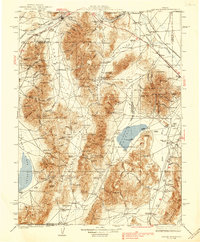
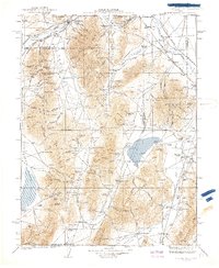
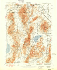
Other maps of this area

1882 · Paradise
USGS Topo · 1:250,000

1886 · Disaster
USGS Topo · 1:250,000

1893 · Paradise
USGS Topo · 1:250,000

1893 · Disaster
USGS Topo · 1:250,000

1908 · Carson Sink
USGS Topo · 1:250,000

1910 · Carson Sink
USGS Topo · 1:250,000

1926 · Roberts Mountains
USGS Topo · 1:250,000

1929 · Roberts Mountains
USGS Topo · 1:250,000

1931 · Lovelock
USGS Topo · 1:250,000

1932 · Sonoma Range
USGS Topo · 1:250,000