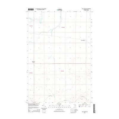
2014 Map of Soo Junction
USGS Topo · Published 2014About this map
Soo Junction sits at the heart of this Luce County landscape, characterized by the winding path of the Tahquamenon River and the expansive wetlands of the Upper Peninsula. The map documents the intricate hydrography of the region, where the Sage River and its multiple tributaries, including the East Branch Sage River, carve through the terrain. These water systems were historically vital for the timber industry and remain central to the geography of McMillan Township.
Find a feature on this map
16 named features on this map. Tap any name to fly to it.
Don’t see what you’re looking for? This feature index may not catch every label — zoom into the map to look around manually.
Map Details
Editions of this 2014 Soo Junction Map
This is the sole edition of this map. No revisions or reprints were ever made.
Other maps of this area

1931 · Epoufette NW
USGS Topo · 1:31,680

1931 · Gilchrist NE
USGS Topo · 1:31,680

1931 · Gilchrist NW
USGS Topo · 1:31,680

1951 · Big Beaver Creek
USGS Topo · 1:24,000

1951 · Hulbert
USGS Topo · 1:24,000

1951 · Eckerman
USGS Topo · 1:62,500

1954 · Sault Sainte Marie
USGS Topo · 1:250,000

1956 · Sault Sainte Marie
USGS Topo · 1:250,000

1957 · Sault Sainte Marie
USGS Topo · 1:250,000

1958 · Sault Sainte Marie
USGS Topo · 1:250,000