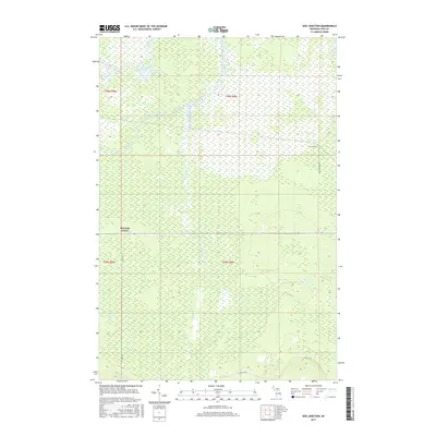
2017 Map of Soo Junction
USGS Topo · Published 2017About this map
Tahquamenon River wetlands dominate this northern Michigan landscape, where the water table defines the character of the Luce County interior. The 2017 survey reveals a sparsely populated terrain focused around small junctions and essential transit corridors. Soo Junction sits at the intersection of local history and the railroad era, while the rural crossing at Mcleods Corner serves as a secondary landmark for researchers and genealogists tracing early Upper Peninsula property lines.
Find a feature on this map
13 named features on this map. Tap any name to fly to it.
Don’t see what you’re looking for? This feature index may not catch every label — zoom into the map to look around manually.
Map Details
Editions of this 2017 Soo Junction Map
This is the sole edition of this map. No revisions or reprints were ever made.
Other maps of this area

1931 · Epoufette NW
USGS Topo · 1:31,680

1931 · Gilchrist NE
USGS Topo · 1:31,680

1931 · Gilchrist NW
USGS Topo · 1:31,680

1951 · Big Beaver Creek
USGS Topo · 1:24,000

1951 · Hulbert
USGS Topo · 1:24,000

1951 · Eckerman
USGS Topo · 1:62,500

1954 · Sault Sainte Marie
USGS Topo · 1:250,000

1956 · Sault Sainte Marie
USGS Topo · 1:250,000

1957 · Sault Sainte Marie
USGS Topo · 1:250,000

1958 · Sault Sainte Marie
USGS Topo · 1:250,000