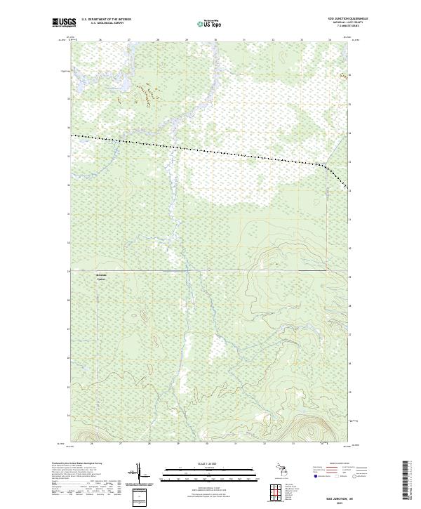
2023 Map of Soo Junction
USGS Topo · Published 2023About this map
The Tahquamenon River flows through the upper reaches of this Luce County landscape, a region defined by its intricate hydrography and wetland systems. This 2023 survey details the headwaters of the Sage River and its tributary, the East Branch Sage River, which carve through the dense terrain of Michigan's Upper Peninsula. Centered near McLeods Corner, the map illustrates a network of secondary roads and forest tracks that facilitate movement through the backcountry. Notable routes like Soo Junction Rd, Co Rd 393, and the Sage Tk Trl provide the primary access to these remote lands. This modern record serves as a precise accounting of the contemporary geography, showing the relationship between small water bodies like Frenchmans Lake and the broader river drainage systems that shape the local environment.
Find a feature on this map
12 named features on this map. Tap any name to fly to it.
Don’t see what you’re looking for? This feature index may not catch every label — zoom into the map to look around manually.
Map Details
Editions of this 2023 Soo Junction Map
This is the sole edition of this map. No revisions or reprints were ever made.
Other maps of this area

1931 · Epoufette NW
USGS Topo · 1:31,680

1931 · Gilchrist NE
USGS Topo · 1:31,680

1931 · Gilchrist NW
USGS Topo · 1:31,680

1951 · Big Beaver Creek
USGS Topo · 1:24,000

1951 · Hulbert
USGS Topo · 1:24,000

1951 · Eckerman
USGS Topo · 1:62,500

1954 · Sault Sainte Marie
USGS Topo · 1:250,000

1956 · Sault Sainte Marie
USGS Topo · 1:250,000

1957 · Sault Sainte Marie
USGS Topo · 1:250,000

1958 · Sault Sainte Marie
USGS Topo · 1:250,000