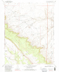
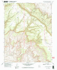
1968 Map of Sooner Bench
USGS Topo · Published 1979About this map
Straight Cliffs and the rising plateau of Fiftymile Mountain dominate this remote desert landscape, surveyed in the late 1960s before the creation of the nearby national recreation area was fully realized. The map documents a network of primitive transportation, including a Jeep Trail and various pack trails that navigate the formidable terrain of Sooner Bench. Water sources were critical for navigation and survival in this arid environment, marked by isolated points such as Fortymile Spring, Soda Spring, and Tank Hollow Spring. Notable geological and landmark features like Dance Hall Rock and Blondie Knoll serve as orientation points amidst a series of erosional washes, including Fortymile Wash and Carcass Wash. This survey captures the region just as the proposed boundary for the Glen Canyon National Recreation Area was being delineated, marking a transition toward federal land management.
Find a feature on this map
40 named features on this map. Tap any name to fly to it.
Don’t see what you’re looking for? This feature index may not catch every label — zoom into the map to look around manually.
Map Details
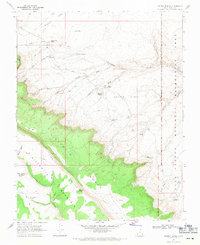
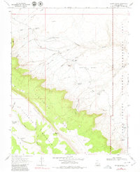
Editions of this 1968 Sooner Bench Map
3 editions found
Other maps of this area

1886 · Escalante
USGS Topo · 1:250,000

1886 · Henry Mountains
USGS Topo · 1:250,000

1892 · Henry Mountains
USGS Topo · 1:250,000

1953 · Cummings Mesa
USGS Topo · 1:62,500

1953 · The Rincon
USGS Topo · 1:62,500

1953 · Navajo Mountain
USGS Topo · 1:62,500

1956 · Escalante
USGS Topo · 1:250,000

1960 · Escalante
USGS Topo · 1:250,000
1968 · Big Hollow Wash
USGS Topo · 1:24,000
1968 · Blackburn Canyon
USGS Topo · 1:24,000