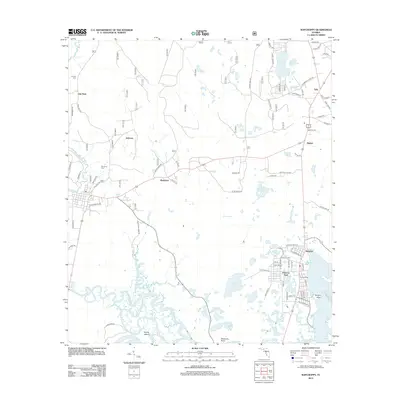
2012 Map of Sopchoppy
USGS Topo · Published 2012About this map
The coastal community of Panacea and the riverside settlement of Rock Landing anchor this 2012 survey of the Florida Gulf Coast. The landscape is defined by the winding course of the Sopchoppy River as it approaches its confluence with the Ochlockonee River, creating a complex network of wetlands and tidal inlets such as Dickerson Bay and Levy Bay. This era of the mapping reflects a balance between rural coastal homesteads and organized recreation, seen in the proximity of Panacea Park to the surrounding wilderness areas of Otter Lake and Alligator Lake.
Find a feature on this map
87 named features on this map. Tap any name to fly to it.
Don’t see what you’re looking for? This feature index may not catch every label — zoom into the map to look around manually.
Map Details
Editions of this 2012 Sopchoppy Map
This is the sole edition of this map. No revisions or reprints were ever made.
Other maps of this area

1940 · Arran
USGS Topo · 1:62,500

1943 · Arran
USGS Topo · 1:62,500

1943 · St. Teresa Beach
USGS Topo · 1:24,000

1943 · Lighthouse Point
USGS Topo · 1:24,000

1945 · Bradwell Bay
USGS Topo · 1:31,680

1945 · Lighthouse Point
USGS Topo · 1:31,680

1945 · Mc Intyre
USGS Topo · 1:31,680

1945 · St Teresa
USGS Topo · 1:31,680

1945 · Sanborn
USGS Topo · 1:31,680

1949 · Apalachicola
USGS Topo · 1:250,000