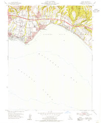
1954 Map of Soquel
USGS Topo · Published 1955About this map
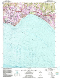
Soquel Cove and the northern arc of Monterey Bay define this 1954 coastal landscape, where the Santa Cruz County shoreline was rapidly developing into a string of distinct seaside communities. From the eastern edge of Santa Cruz through Capitola to Rio Del Mar, the map shows a period of transition as inland agriculture and institutions met growing coastal recreation. Significant local landmarks like Salesian College and Chaminade Sch are situated among the deeply incised gulches, while the Southern Pacific railroad hugs the coastline, passing through the established resort areas of Capitola Beach State Park and Seacliff Beach State Park. The geography is characterized by several lagoons and lakes at the mouths of freshwater drainages, including Corcoran Lagoon and Moran Lake, which remained largely undeveloped at the time of this survey. Inland, the Shoquel Augmentation boundary and several rural schools like Union Sch highlight the older land divisions of the region.
Find a feature on this map
50 named features on this map. Tap any name to fly to it.
Don’t see what you’re looking for? This feature index may not catch every label — zoom into the map to look around manually.
Map Details
Editions of this 1954 Soquel Map
5 editions found
Other maps of this area

1902 · Santa Cruz
USGS Topo · 1:125,000

1912 · Capitola
USGS Topo · 1:62,500

1914 · Capitola
USGS Topo · 1:62,500

1916 · New Almaden
USGS Topo · 1:48,000

1919 · New Almaden
USGS Topo · 1:62,500

1940 · Capitola
USGS Topo · 1:62,500

1940 · Los Gatos
USGS Topo · 1:62,500

1943 · Los Gatos
USGS Topo · 1:62,500

1947 · San Francisco
USGS Topo · 1:250,000

1947 · San Jose
USGS Topo · 1:250,000