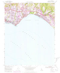
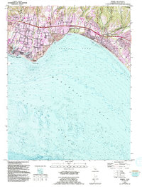
1954 Map of Soquel
USGS Topo · Published 1981About this map
Soquel and the surrounding Monterey Bay coastline are captured during a period of significant post-war expansion, with revisions showing growth through the late 1970s. The landscape is defined by its deep gulches and creek drainages, including Soquel Creek and Aptos Creek, which historically dictated the placement of settlements and transport corridors. The Southern Pacific railroad line hugs the coast, connecting the beach communities of Capitola and Rio Del Mar.
Find a feature on this map
55 named features on this map. Tap any name to fly to it.
Don’t see what you’re looking for? This feature index may not catch every label — zoom into the map to look around manually.
Map Details
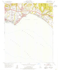
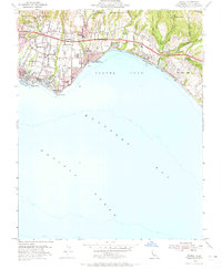
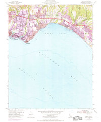
Editions of this 1954 Soquel Map
5 editions found
Other maps of this area

1902 · Santa Cruz
USGS Topo · 1:125,000

1912 · Capitola
USGS Topo · 1:62,500

1914 · Capitola
USGS Topo · 1:62,500

1916 · New Almaden
USGS Topo · 1:48,000

1919 · New Almaden
USGS Topo · 1:62,500
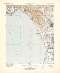
1940 · Capitola
USGS Topo · 1:62,500

1940 · Los Gatos
USGS Topo · 1:62,500

1943 · Los Gatos
USGS Topo · 1:62,500

1947 · San Francisco
USGS Topo · 1:250,000

1947 · San Jose
USGS Topo · 1:250,000