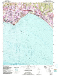
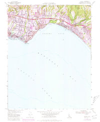
1954 Map of Soquel
USGS Topo · Published 1994About this map
Soquel Cove and the northern arc of Monterey Bay define the character of this mid-century coastal survey. The map details the transition of the Santa Cruz coastline from an industrial and agricultural landscape toward a residential and recreational corridor. Transit is dominated by the Southern Pacific rail line and Cliff Drive, which connect the established settlements of Santa Cruz, Capitola, and Aptos. Genealogy researchers will find significant value in the documentation of several local burial grounds, including Soquel Cem and Holy Cross Cem.
Find a feature on this map
49 named features on this map. Tap any name to fly to it.
Don’t see what you’re looking for? This feature index may not catch every label — zoom into the map to look around manually.
Map Details
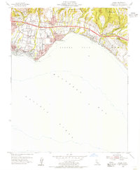
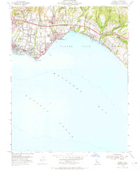
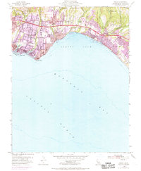
Editions of this 1954 Soquel Map
5 editions found
Other maps of this area

1902 · Santa Cruz
USGS Topo · 1:125,000

1912 · Capitola
USGS Topo · 1:62,500

1914 · Capitola
USGS Topo · 1:62,500

1916 · New Almaden
USGS Topo · 1:48,000

1919 · New Almaden
USGS Topo · 1:62,500

1940 · Capitola
USGS Topo · 1:62,500

1940 · Los Gatos
USGS Topo · 1:62,500

1943 · Los Gatos
USGS Topo · 1:62,500

1947 · San Francisco
USGS Topo · 1:250,000

1947 · San Jose
USGS Topo · 1:250,000