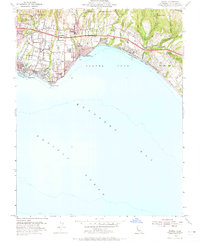
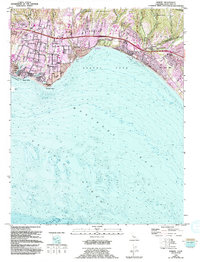
1954 Map of Soquel
USGS Topo · Published 1965About this map
Southern Pacific rail lines track the Santa Cruz County coastline in this mid-century portrait of a developing coastal landscape. The map details the transition from established settlements like Soquel and Aptos to the burgeoning beach communities of Capitola, Opal Cliffs, and Rio Del Mar. Along the northern edge, the Shoquel Augmentation boundary marks the limit of more rugged terrain as numerous creeks, including Arana Gulch and Borregas Creek, drain southward into Soquel Cove.
Find a feature on this map
55 named features on this map. Tap any name to fly to it.
Don’t see what you’re looking for? This feature index may not catch every label — zoom into the map to look around manually.
Map Details
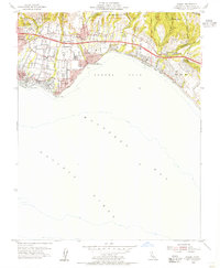
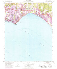
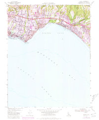
Editions of this 1954 Soquel Map
5 editions found
Other maps of this area

1902 · Santa Cruz
USGS Topo · 1:125,000

1912 · Capitola
USGS Topo · 1:62,500

1914 · Capitola
USGS Topo · 1:62,500

1916 · New Almaden
USGS Topo · 1:48,000

1919 · New Almaden
USGS Topo · 1:62,500

1940 · Capitola
USGS Topo · 1:62,500

1940 · Los Gatos
USGS Topo · 1:62,500

1943 · Los Gatos
USGS Topo · 1:62,500

1947 · San Francisco
USGS Topo · 1:250,000

1947 · San Jose
USGS Topo · 1:250,000