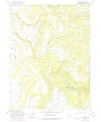
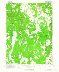
1963 Map of Soup Creek
USGS Topo · Published 1978About this map
Modoc National Forest encompasses this high-elevation landscape, where the headwaters of numerous forks converge to form a complex drainage system. The 1963 survey shows an area defined by its water resources and small-scale industrial history, notably marking Cantrall Mill and Brooks Mill. These sites, along with the Bowman Ranch, suggest a mid-century economy built around timber and livestock in the remote northern California interior.
Find a feature on this map
38 named features on this map. Tap any name to fly to it.
Don’t see what you’re looking for? This feature index may not catch every label — zoom into the map to look around manually.
Map Details
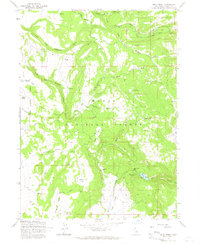
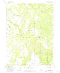
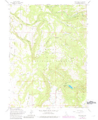
Editions of this 1963 Soup Creek Map
4 editions found
Other maps of this area

1886 · Alturas
USGS Topo · 1:250,000

1892 · Alturas
USGS Topo · 1:250,000

1954 · Alturas
USGS Topo · 1:250,000

1958 · Alturas
USGS Topo · 1:250,000

1962 · Alturas
USGS Topo · 1:250,000

1962 · Tule Mountain
USGS Topo · 1:24,000

1962 · Jess Valley
USGS Topo · 1:24,000
1962 · Emerson Peak
USGS Topo · 1:24,000

1963 · Warren Peak
USGS Topo · 1:24,000

1963 · Little Juniper Reservoir
USGS Topo · 1:24,000