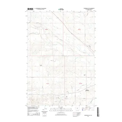
2015 Map of Sourdough Flats
USGS Topo · Published 2015About this map
Belle Fourche anchors the southeast corner of this Butte County landscape, where the Belle Fourche River meets a network of drainage systems including Hay Cr and Middle Cr. The terrain is defined by high plateau features like Sourdough Flats and Windy Flats, while the erosive action of seasonal water has carved out the significant Big Canyon to the south.
Find a feature on this map
78 named features on this map. Tap any name to fly to it.
Don’t see what you’re looking for? This feature index may not catch every label — zoom into the map to look around manually.
Map Details
Editions of this 2015 Sourdough Flats Map
This is the sole edition of this map. No revisions or reprints were ever made.
Other maps of this area

1901 · Aladdin
USGS Topo · 1:125,000

1903 · Aladdin
USGS Topo · 1:125,000

1905 · Indian
USGS Topo · 1:62,500

1907 · Belle Fourche
USGS Topo · 1:125,000

1907 · Redwater
USGS Topo · 1:62,500

1953 · Rapid City
USGS Topo · 1:250,000

1954 · The Forks
USGS Topo · 1:24,000
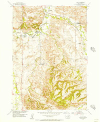
1954 · Jolly
USGS Topo · 1:24,000
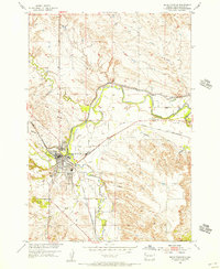
1954 · Belle Fourche
USGS Topo · 1:24,000

1954 · Gillette
USGS Topo · 1:250,000