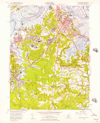
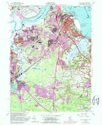
1954 Map of South Amboy
USGS Topo · Published 1957About this map
The U S Military Reservation Raritan Arsenal dominates the northern shoreline along the Raritan River, reflecting the significant military and industrial presence in mid-century New Jersey. This 1954 revision details the complex rail infrastructure connecting the Pennsylvania Railroad and the Raritan River RR, which served the clay pits and sand and gravel operations near Sayreville Junction. The landscape transition from the dense urban grid of South Amboy to the tidal marshes of Cheesequake State Park is clearly documented.
Find a feature on this map
86 named features on this map. Tap any name to fly to it.
Don’t see what you’re looking for? This feature index may not catch every label — zoom into the map to look around manually.
Map Details
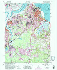
Editions of this 1954 South Amboy Map
6 editions found
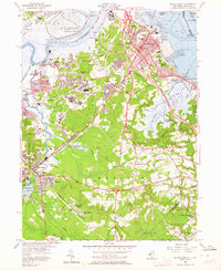
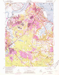
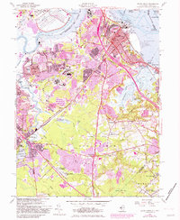
Other maps of this area

1888 · Plainfield
USGS Topo · 1:62,500

1888 · New Brunswick
USGS Topo · 1:62,500

1888 · Sandy Hook
USGS Topo · 1:62,500

1893 · New Brunswick
USGS Topo · 1:62,500

1893 · Plainfield
USGS Topo · 1:62,500

1893 · Sandy Hook
USGS Topo · 1:62,500

1898 · Plainfield
USGS Topo · 1:62,500

1898 · Staten Island
USGS Topo · 1:62,500

1900 · Passaic
USGS Topo · 1:125,000

1900 · Staten Island
USGS Topo · 1:62,500