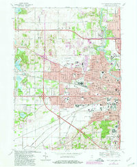
1969 Map of South Bend West
USGS Topo · Published 1980About this map
The St Joseph River anchors the eastern edge of this landscape, winding past the campus of St Marys College and Holy Cross College before turning through the heart of South Bend. This era shows a city in a period of complex infrastructure, where dense residential blocks and parochial institutions like St Stanislaus Sch and St Adalbert Sch meet the massive industrial footprints of the Chicago South Shore and South Bend and Conrail lines. To the west, the urban grid gives way to the Michiana Regional Airport and the outlying settlements of Ardmore and Lydick. The map is particularly notable for its detailed recording of civic and religious geography, from the historic Highland Cemetery and City Cem to the concentration of Catholic schools and churches that defined the neighborhood identities of the mid-20th century.
Find a feature on this map
75 named features on this map. Tap any name to fly to it.
Don’t see what you’re looking for? This feature index may not catch every label — zoom into the map to look around manually.
Map Details
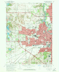
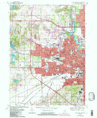
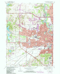
Editions of this 1969 South Bend West Map
4 editions found
Other maps of this area

1927 · Niles
USGS Topo · 1:62,500

1930 · Niles
USGS Topo · 1:62,500

1943 · Niles
USGS Topo · 1:62,500

1945 · Cassopolis
USGS Topo · 1:62,500

1947 · Cassopolis
USGS Topo · 1:62,500

1953 · Chicago
USGS Topo · 1:250,000

1957 · Chicago
USGS Topo · 1:250,000

1958 · South Bend East
USGS Topo · 1:24,000

1958 · South Bend West
USGS Topo · 1:24,000

1958 · Lydick
USGS Topo · 1:24,000