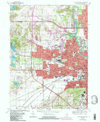
1969 Map of South Bend West
USGS Topo · Published 1987About this map
The St Joseph River anchors the eastern edge of this landscape, winding through a dense urban and institutional corridor that includes St Marys College and Holy Cross College. During the late 1960s, the western expansion of South Bend met the agricultural and industrial fringes of German and Warren townships. This transition is marked by the presence of several large cemeteries, including Highland Cemetery and St Josephs Cemetery, situated near the major transport hub of the Michiana Regional Airport. The era’s industrial footprint is visible in the network of the Chicago South Shore and South Bend and Conrail railroads, which served local settlements like Lydick and Ardmore. Inland lakes such as North Chain Lake and Chamberlain Lake reflect the glacial topography that persists even as suburban growth and the Indiana East-West Toll Road reshaped the region's connectivity.
Find a feature on this map
91 named features on this map. Tap any name to fly to it.
Don’t see what you’re looking for? This feature index may not catch every label — zoom into the map to look around manually.
Map Details
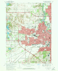
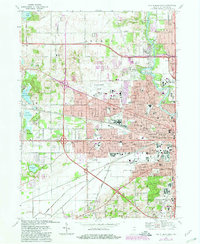
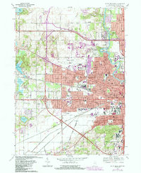
Editions of this 1969 South Bend West Map
4 editions found
Other maps of this area

1927 · Niles
USGS Topo · 1:62,500

1930 · Niles
USGS Topo · 1:62,500

1943 · Niles
USGS Topo · 1:62,500

1945 · Cassopolis
USGS Topo · 1:62,500

1947 · Cassopolis
USGS Topo · 1:62,500

1953 · Chicago
USGS Topo · 1:250,000

1957 · Chicago
USGS Topo · 1:250,000

1958 · South Bend East
USGS Topo · 1:24,000

1958 · South Bend West
USGS Topo · 1:24,000

1958 · Lydick
USGS Topo · 1:24,000