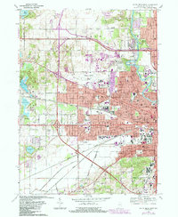
1969 Map of South Bend West
USGS Topo · Published 1987About this map
The St Joseph River anchors the eastern edge of this landscape, winding past St Marys College and through the industrial and residential heart of South Bend. This mid-century survey illustrates the city's westward expansion toward Michiana Regional Airport, showing a dense network of neighborhoods defined by parochial education and local industry. Numerous neighborhood landmarks, such as Our Lady of Hungary Sch, St Casimir Sch, and Sacred Heart Sch, reflect the distinct community identities of the era.
Find a feature on this map
84 named features on this map. Tap any name to fly to it.
Don’t see what you’re looking for? This feature index may not catch every label — zoom into the map to look around manually.
Map Details
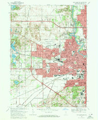
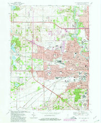
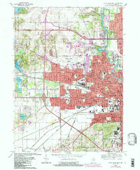
Editions of this 1969 South Bend West Map
4 editions found
Other maps of this area

1927 · Niles
USGS Topo · 1:62,500

1930 · Niles
USGS Topo · 1:62,500

1943 · Niles
USGS Topo · 1:62,500

1945 · Cassopolis
USGS Topo · 1:62,500

1947 · Cassopolis
USGS Topo · 1:62,500

1953 · Chicago
USGS Topo · 1:250,000

1957 · Chicago
USGS Topo · 1:250,000

1958 · South Bend East
USGS Topo · 1:24,000

1958 · South Bend West
USGS Topo · 1:24,000

1958 · Lydick
USGS Topo · 1:24,000