
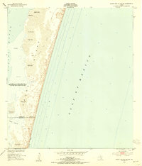
1951 Map of South Bird Island SE
USGS Topo · Published 1953About this map
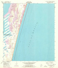
Padre Island dominates this mid-century topographic survey, showing a landscape defined by shifting sands and the narrow interface between the Laguna Madre and the Gulf of Mexico. The coastal morphology is meticulously documented, with specific dune elevations noted across landmarks like Green Hill, Dagger Hill, and Big Ball Hill. These dunes reach heights up to 37 feet, illustrating the dynamic nature of the Texas barrier island system before significant modern development.
Find a feature on this map
17 named features on this map. Tap any name to fly to it.
Don’t see what you’re looking for? This feature index may not catch every label — zoom into the map to look around manually.
Map Details
Editions of this 1951 South Bird Island SE Map
3 editions found
Other maps of this area

1950 · Corpus Christi
USGS Topo · 1:250,000

1951 · South Bird Island
USGS Topo · 1:24,000

1951 · South Bird Island NW
USGS Topo · 1:24,000

1951 · Point Of Rocks
USGS Topo · 1:24,000

1951 · South Bird Island
USGS Topo · 1:62,500

1952 · Yarborough Pass
USGS Topo · 1:24,000
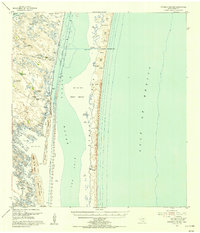
1955 · Potrero Cortado
USGS Topo · 1:62,500

1956 · Corpus Christi
USGS Topo · 1:250,000

1960 · Corpus Christi
USGS Topo · 1:250,000

1966 · Corpus Christi
USGS Topo · 1:250,000