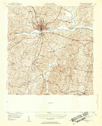
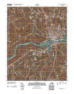
1953 Map of South Boston
USGS Topo · Published 1955About this map
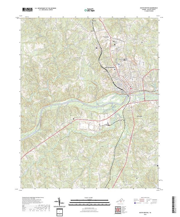
South Boston serves as the regional hub in this mid-century survey, situated at a major crossing where the Dan River and several rail lines converge. The town's industrial and social infrastructure is evident through the placement of the Hospital, the County High Sch, and the Southern and Norfolk and Western railroads. Beyond the urban center, the landscape of Halifax County is a dense network of rural communities defined by landmarks like Berry Hill and Washington Heights.
Find a feature on this map
72 named features on this map. Tap any name to fly to it.
Don’t see what you’re looking for? This feature index may not catch every label — zoom into the map to look around manually.
Map Details
Editions of this 1953 South Boston Map
2 editions found
Historical Maps of South Boston Through Time
9 maps found

1953 South Boston
Halifax County, VA
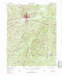
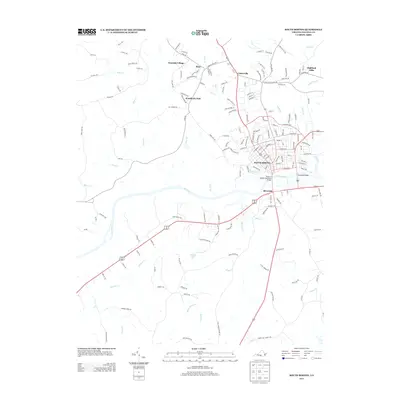
1957 South Boston
Halifax County, VA
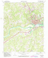
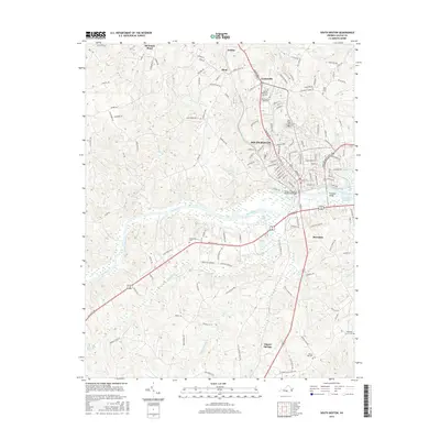
1969 South Boston
Halifax County, VA
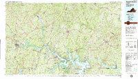
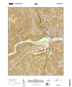
1984 South Boston
Halifax County, VA
2010 South Boston
Halifax County, VA
2013 South Boston
Halifax County, VA
2016 South Boston
Halifax County, VA
2019 South Boston
Halifax County, VA
2022 South Boston
Halifax County, VA