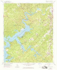
1961 Map of South Canton
USGS Topo · Published 1969About this map
Allatoona Reservoir dominates the topography of southern Cherokee County, its dendritic shoreline reaching deep into the Piedmont landscape via the Etowah River and Little River. This 1961 field-checked survey, updated with 1968 aerial revisions, shows the area as it transitioned into a major recreational hub while maintaining its rural and industrial roots. The Louisville and Nashville railroad corridor anchors the eastern half, connecting Canton and South Canton with the settlements of Holly Springs and Lebanon. Cultural landmarks are densely plotted, including numerous rural churches such as Mt Carmel Ch, Fields Chapel, and Sixes Ch. Local history is further preserved through the identification of several family-named landmarks and infrastructure, from the Lovingood Cem near Victoria to the Knox Bridge crossing. The map also records the location of a Quarry and a Landing Strip, highlighting the varied land use near the reservoir's edge.
Find a feature on this map
54 named features on this map. Tap any name to fly to it.
Don’t see what you’re looking for? This feature index may not catch every label — zoom into the map to look around manually.
Map Details
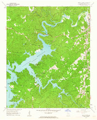
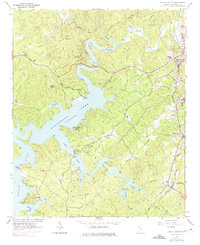
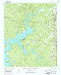
Editions of this 1961 South Canton Map
4 editions found
Other maps of this area

1890 · Suwanee
USGS Topo · 1:125,000

1890 · Cartersville
USGS Topo · 1:125,000

1891 · Cartersville
USGS Topo · 1:125,000

1894 · Suwanee
USGS Topo · 1:125,000

1896 · Cartersville
USGS Topo · 1:125,000

1907 · Acworth
USGS Topo · 1:62,500

1909 · Acworth
USGS Topo · 1:62,500

1926 · Tate
USGS Topo · 1:62,500

1928 · Tate
USGS Topo · 1:62,500

1947 · Waleska
USGS Topo · 1:62,500