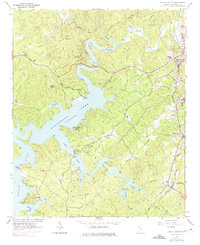
1961 Map of South Canton
USGS Topo · Published 1975About this map
Allatoona Lake dominates the central landscape of this Cherokee County survey, where the rising waters created a complex shoreline of inlets and peninsulas. The confluence of the EtowAH River and the Little River is marked by significant crossings like the Knox Bridge and Little River Bridge. Along the eastern edge, the Louisville and Nashville railroad corridor anchors several established communities, including Holly Springs and Lebanon (Toonigh Sta). This era of development is visible in the transition from rural church-and-cemetery hubs like Lovingood Cem and Sixes Ch to modern recreation sites at Fields Landing County Park and the Whispering Pines Camp. The map also captures local industry and infrastructure, from a Quarry near the rail line to the County High Sch in Canton.
Find a feature on this map
49 named features on this map. Tap any name to fly to it.
Don’t see what you’re looking for? This feature index may not catch every label — zoom into the map to look around manually.
Map Details
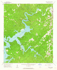
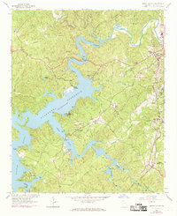
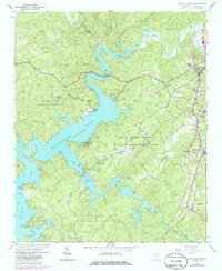
Editions of this 1961 South Canton Map
4 editions found
Other maps of this area

1890 · Suwanee
USGS Topo · 1:125,000

1890 · Cartersville
USGS Topo · 1:125,000

1891 · Cartersville
USGS Topo · 1:125,000

1894 · Suwanee
USGS Topo · 1:125,000

1896 · Cartersville
USGS Topo · 1:125,000

1907 · Acworth
USGS Topo · 1:62,500

1909 · Acworth
USGS Topo · 1:62,500

1926 · Tate
USGS Topo · 1:62,500

1928 · Tate
USGS Topo · 1:62,500

1947 · Waleska
USGS Topo · 1:62,500