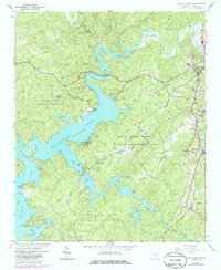
1961 Map of South Canton
USGS Topo · Published 1986About this map
Allatoona Lake dominates this mid-century landscape of Cherokee County, where the rising waters of the Etowah River and Little River reshaped the local geography. The map documents the area during a period of transition, showing the intersection of long-established rural communities and modern recreational development. To the north, the industrial and residential centers of Canton and South Canton are clearly defined, while the southern reaches feature the extensive Little River State Wildlife Management Area. Local family and community history is preserved through dozens of landmarks, including Fields Chapel, Sutallee, and the Seaboard Coast Line railroad. From the Drive-in Theatre near South Canton to the secluded Victoria Landing, the survey captures the post-war shift toward lakeside living and regional conservation.
Find a feature on this map
60 named features on this map. Tap any name to fly to it.
Don’t see what you’re looking for? This feature index may not catch every label — zoom into the map to look around manually.
Map Details
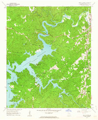
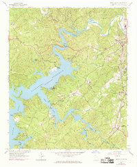
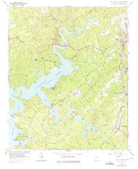
Editions of this 1961 South Canton Map
4 editions found
Other maps of this area

1890 · Suwanee
USGS Topo · 1:125,000

1890 · Cartersville
USGS Topo · 1:125,000

1891 · Cartersville
USGS Topo · 1:125,000

1894 · Suwanee
USGS Topo · 1:125,000

1896 · Cartersville
USGS Topo · 1:125,000

1907 · Acworth
USGS Topo · 1:62,500

1909 · Acworth
USGS Topo · 1:62,500

1926 · Tate
USGS Topo · 1:62,500

1928 · Tate
USGS Topo · 1:62,500

1947 · Waleska
USGS Topo · 1:62,500