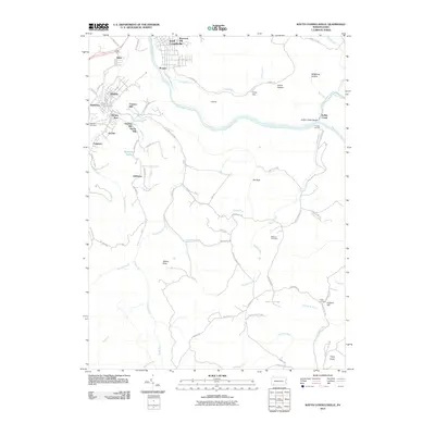
2010 Map of South Connellsville
USGS Topo · Published 2010About this map
The Youghiogheny River carves a deep path through Fayette County, defining the industrial and natural character of South Connellsville and its surrounding communities. At this time, the landscape is a mix of dense residential clusters like Dunbar and Mahoning, and small, named pockets of development such as Brown Row and Irishtown. The terrain is marked by significant elevation changes, from the heights of Furnace Hill and Hardy Hill down to the Indian Creek Gorge.
Find a feature on this map
79 named features on this map. Tap any name to fly to it.
Don’t see what you’re looking for? This feature index may not catch every label — zoom into the map to look around manually.
Map Details
Editions of this 2010 South Connellsville Map
This is the sole edition of this map. No revisions or reprints were ever made.
Other maps of this area

1900 · Uniontown
USGS Topo · 1:62,500

1902 · Connellsville
USGS Topo · 1:62,500

1922 · Confluence
USGS Topo · 1:62,500

1922 · Donegal
USGS Topo · 1:62,500

1931 · Connellsville
USGS Topo · 1:62,500

1931 · Uniontown
USGS Topo · 1:62,500

1931 · Confluence
USGS Topo · 1:62,500

1933 · Confluence
USGS Topo · 1:62,500

1935 · Donegal
USGS Topo · 1:62,500

1936 · Connellsville
USGS Topo · 1:62,500