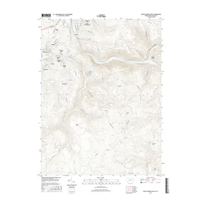
2016 Map of South Connellsville
USGS Topo · Published 2016About this map
The Youghiogheny River carves a deep path through Fayette County, defining the industrial and residential geography of South Connellsville and its southern neighbors. This mid-2010s survey shows a landscape where historic industrial settlements like Dunbar, Mahoning, and Pechin sit at the feet of significant elevations such as Furnace Hill and Factory Hill, names that point to the region's productive past.
Find a feature on this map
88 named features on this map. Tap any name to fly to it.
Don’t see what you’re looking for? This feature index may not catch every label — zoom into the map to look around manually.
Map Details
Editions of this 2016 South Connellsville Map
This is the sole edition of this map. No revisions or reprints were ever made.
Other maps of this area

1900 · Uniontown
USGS Topo · 1:62,500

1902 · Connellsville
USGS Topo · 1:62,500

1922 · Confluence
USGS Topo · 1:62,500

1922 · Donegal
USGS Topo · 1:62,500

1931 · Connellsville
USGS Topo · 1:62,500

1931 · Uniontown
USGS Topo · 1:62,500

1931 · Confluence
USGS Topo · 1:62,500

1933 · Confluence
USGS Topo · 1:62,500

1935 · Donegal
USGS Topo · 1:62,500

1936 · Connellsville
USGS Topo · 1:62,500