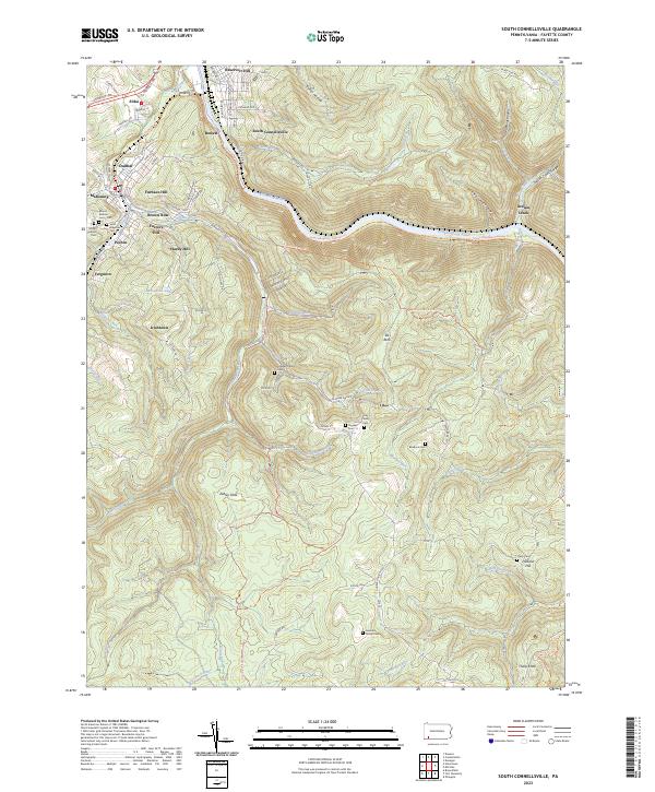
2023 Map of South Connellsville
USGS Topo · Published 2023About this map
The Youghiogheny River carves a deep valley through this portion of Fayette County, serving as the primary corridor for the Great Allegheny Passage Trl and the Southwest Pennsylvania RR. The industrial and residential character of South Connellsville and Dunbar contrasts with the high, wooded elevations to the east, where the Indian Creek Gorge and several hollows like McManus Hollow define the landscape. This 2023 survey provides a detailed view of the region's complex local history through numerous family burial sites, including the Hughes Family Cem, Roebuck Cem, and Leonard Family Cem. Smaller settlements and neighborhood clusters such as Irishtown, Brown Row, and Mahoning appear alongside institutional landmarks like the University of Pittsburgh Fayette Campus and the Fayette County Fairgrounds, illustrating the area's mix of academic, agricultural, and industrial identities.
Find a feature on this map
99 named features on this map. Tap any name to fly to it.
Don’t see what you’re looking for? This feature index may not catch every label — zoom into the map to look around manually.
Map Details
Editions of this 2023 South Connellsville Map
This is the sole edition of this map. No revisions or reprints were ever made.
Other maps of this area

1900 · Uniontown
USGS Topo · 1:62,500

1902 · Connellsville
USGS Topo · 1:62,500

1922 · Confluence
USGS Topo · 1:62,500

1922 · Donegal
USGS Topo · 1:62,500

1931 · Connellsville
USGS Topo · 1:62,500

1931 · Uniontown
USGS Topo · 1:62,500

1931 · Confluence
USGS Topo · 1:62,500

1933 · Confluence
USGS Topo · 1:62,500

1935 · Donegal
USGS Topo · 1:62,500

1936 · Connellsville
USGS Topo · 1:62,500